Features:
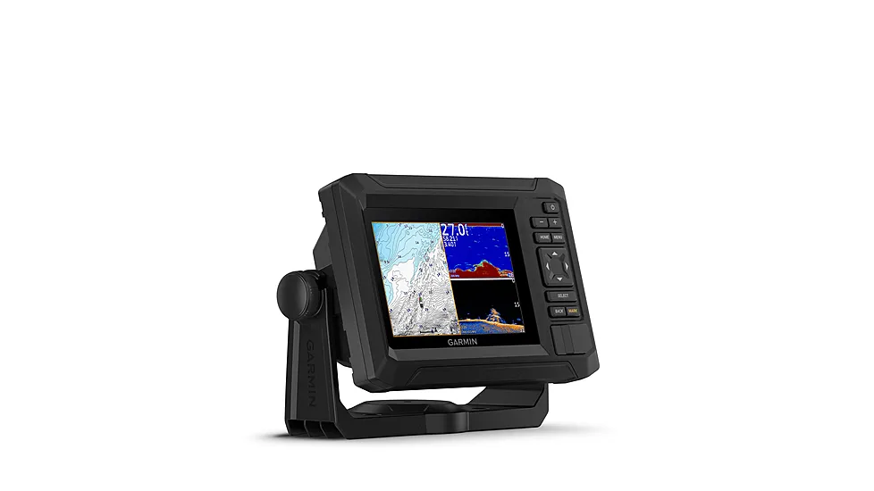
- Detail-rich mapping of coastal features, lakes, rivers and more. Integrated Garmin and Navionics content offers coverage for boaters worldwide
- Daily Chart Updates- as many as 5,000 updates are made every day
- Built-in Auto Guidance+ technology gives you a suggested dock-to-dock path to follow through channels, inlets, marina entrances and more
- High-resolution depth range shading lets you select up to 10 color-shaded options and view designated target depths at a glance
- Up to 1′ contours provide a clear depiction of bottom structure for improved fishing charts and enhanced detail in swamps, canals, harbors, marinas and more
- Shallow water shading
- NOAA raster cartography
- ActiveCaptain Community provides useful POIs, such as marinas, anchorages, hazards, businesses and more
- Downloadable High-Resolution Relief Shading, Sonar Imagery and High-Resolution Satellite Imagery
- Crystal-clear aerial and surface photos of ports, marinas, bridges, docks, boat ramps, dams and navigational landmarks
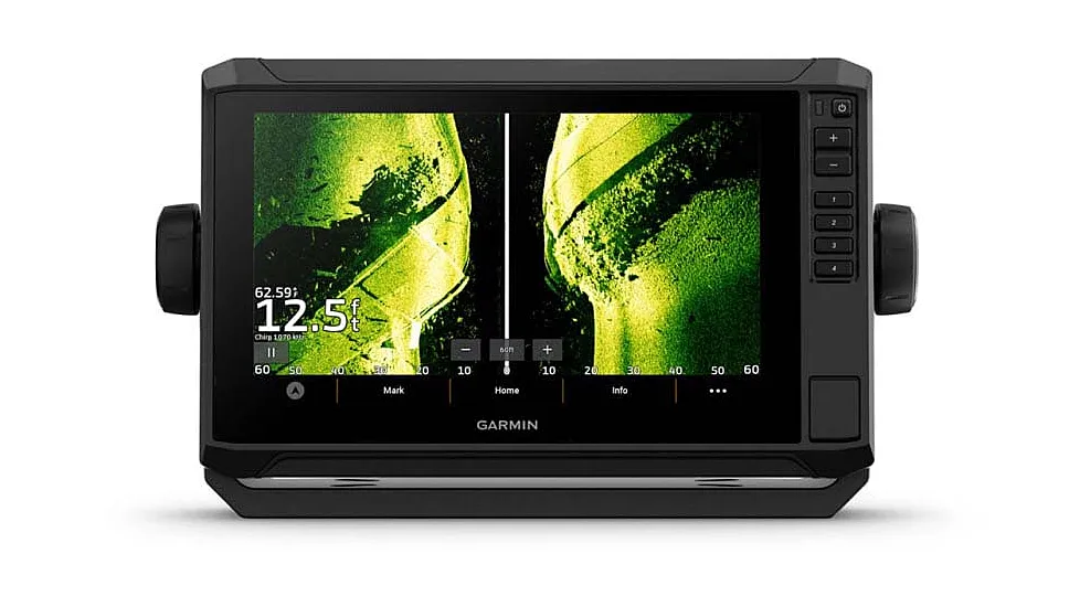
- Side-Scan Images show submerged features such as fallen timber, fish attractors, wrecks, potential hazards and more on select U.S. lakes
- 3D Fisheye View shows representation of bottom and contours as seen from below the waterline. Interface with sonar data for a customized view
- 3D Marinereye View – 3D representation of the surrounding areas both above and below the waterline
- Dynamic Lake Level – Adjust maps to the lake’s current water levels to see if spots are accessible or too shallow to explore
Specifications
| UPC/EAN | 753759289850 |
|---|---|
| Brand | Garmin |
| Item Quote Eligible | No |


Reviews
There are no reviews yet.